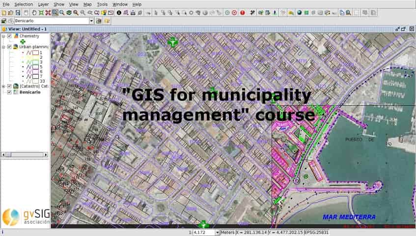
Geographic Information Systems applied to Municipality Management Course
About the course
The course is based on video-tutorials and practical exercises with municipality data, with some and necessary theoretical introductions to some concepts. Once done we do not doubt that you will become experts in the management of Geographic Information Systems and your work in municipality management will be consequently optimized.
The course is destined for municipal technicians mainly, either architects, draughtsmen, surveyors, computer scientists, foresters, environmentalists, … because almost in any area of a municipality people work in one way or another with geolocated information. The really important thing is that despite being a very complete and advanced course, it starts from scratch … so it is not necessary any previous knowledge to do it.
The list of topics of the course is:
- Introduction to GIS: Differences between GIS and CAD
- Introduction to Reference Systems
- Views, layers, symbology, labeling
- Attribute tables (alphanumeric information)
- Attribute tables (joining tables)
- Introduction to Spatial Data Infrastructures
- Loading web services from gvSIG Desktop (OGC services)
- Loading web services from gvSIG Desktop (other services)
- Add-ons manager
- Editing: new layers, graphical and alphanumerical editing
- Editing: derived geometries
- Geocoding
- Event layer
- Hyperlink
- How to convert cartography from CAD to GIS
- Reprojection of vector layers
- Geoprocessing
- Layout
- Image georeferencing
- gvSIG 3D
- gvSIG Online: Publishing of cartography
- gvSIG Online: Editing, hyperlink, …
- gvSIG Mobile: Taking data in the field
The first 2 video-tutorials are theoretical and from module 3 they become eminently practical. In each post (module) we will indicate the link to the cartography necessary to perform the different exercises.
To make the location of all the video-tutorials of the course easy they will be stored in a Playlist.
It is important to note that at the end of the course you can obtain an official certificate issued by the gvSIG Association.
Thanks to gvSIG blog for the sharing


